






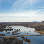



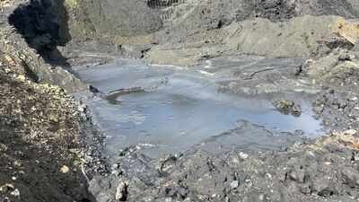
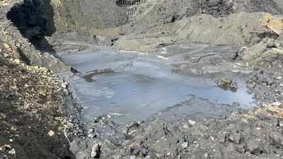
Pennsylvania’s abandoned underground coal mines may contain between 60 to 220 billion gallons of water, according to a U.S. Geological Survey study of the Western Middle Anthracite Coalfield. The research examined a 120-square-mile area across Schuylkill, Columbia and Northumberland counties, where old mine workings now form a complex underground water system. Rather than simply leaving empty spaces beneath the ground, many of these former mines have filled with groundwater. The USGS study mapped how that water is stored, moves between mine workings and interacts with nearby streams.
Why Pennsylvania’s abandoned coal mines hold so much water
The water lies within underground mine workings that were created during decades of coal extraction. Once mining stopped, parts of these workings became flooded, creating what the USGS describes as mine pools. The study found that these flooded areas are not isolated pockets of water. Some underground mine workings are connected horizontally and vertically, allowing groundwater to move through connected sections.The study area covers about 120 square miles in eastern Pennsylvania and includes the Mahanoy and Shamokin Creek basins. The USGS focused on these basins because abandoned mines have had substantial effects on the area’s water system, including changes in streamflow and water quality.The research was carried out by the U.S. Geological Survey in cooperation with the Pennsylvania Department of Environmental Protection, the Eastern Pennsylvania Coalition for Abandoned Mine Reclamation and the Dauphin County Conservation District.
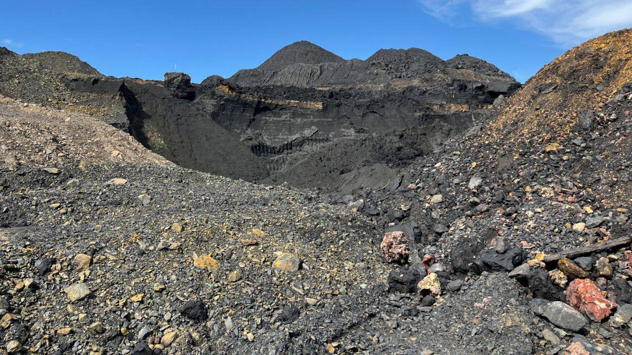
Image Credit: Jessica Klein/Inside Climate News/Pennsylvania Capital Star
How scientists mapped the hidden reservoirs
The researchers used a 3D groundwater-flow model together with a geographic information system to build a picture of the underground system. The model brought together information about old mine workings, groundwater levels, geology and streamflow.According to the USGS report, the researchers divided connected mine workings into multicolliery units, or MCUs. These units represent groups of mine workings where water can move relatively easily. Barriers left between some mine areas, however, restrict that movement. The researchers used old mine maps, mine discharge locations and groundwater-level measurements to identify these underground boundaries.The model was also calibrated against measured groundwater levels and stream baseflow. In many locations, the USGS found that mine discharge made up much of the streamflow during low-flow conditions. This helped the researchers examine the relationship between water stored underground and water appearing in nearby streams.
How the estimate reached 220 billion gallons of water
The wide range in the estimate comes from uncertainty about how much open space is available to hold water inside the mined areas. The USGS used two assumed values for the bulk porosity of the mined seams, 11% and 40%.Using the lower assumption produced an estimated 60 billion gallons of water in storage. Using the higher assumption produced an estimate of 220 billion gallons. The report therefore presents 60 to 220 billion gallons as the estimated range rather than treating 220 billion gallons as a precisely measured quantity.The detailed report gives the 220-billion-gallon estimate as about 675,000 acre-feet of water. It also notes that this estimate is substantially higher than figures from earlier studies, although the difference partly reflects the assumptions and methods used in the newer assessment.
What happens when water is pumped from the mines
The underground reservoirs are connected to the surface water system, so changes underground can affect nearby streams. The USGS model examined what could happen if pumping from a flooded mine were increased.For an example involving the Gilberton mine pool, the model showed that additional pumping would lower groundwater levels, particularly close to the pumping area. Much of the water removed by increased pumping would be balanced by a reduction in water flowing from the mines into nearby streams. The report also found that intact barriers between mine areas would limit how far the effects of pumping spread.This means the underground water does not behave like one enormous, freely connected reservoir. Instead, it is held within interconnected sections, with some barriers restricting movement between them.
Why the USGS treats the figures as preliminary
Although the study provides a striking estimate, the researchers were careful about how the model should be used. The USGS states that the results are suitable for examining the overall water budget, testing the general model of how the abandoned mines work and estimating approximate storage volumes. They should not be treated as precise descriptions of water movement within an individual flooded mine.The uncertainty comes partly from limited information about conditions underground. The report says that groundwater levels and some mine discharge rates were not reproduced well by the preliminary model. More detailed modelling could also introduce additional uncertainty when there are not enough measurements to support the extra detail.The USGS identified several types of information that would help improve future estimates. These include continuous measurements of streamflow, mine discharge rates and groundwater levels both inside the mines and in surrounding areas.The researchers also suggested collecting data while the system is responding to changes such as increased pumping or groundwater recharge. Such observations could provide a better understanding of the underground barriers and the exchanges between groundwater and surface water. The report also points to tracer studies and streambed surveys as possible ways to investigate those connections.