










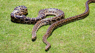
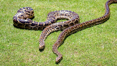
Imagine fitting a satellite-linked tracker to a giant constrictor and expecting a steady stream of locations. Scientists did exactly that with 13 Burmese pythons in Everglades National Park, and the results published in 2018 were both disappointing and encouraging. The devices recorded a position only 18.1 per cent of the time they tried, yet the data that did arrive was remarkably precise and far more frequent than older methods allowed. In wildlife management, snake research, or tracking technology, these findings explain what works, what fails, and what researchers recommend changing before the next attempt to follow these elusive snakes.
How researchers fitted Burmese pythons with Global Positioning System tags in Everglades National Park
The research team, made up of Brian Smith, Kristen Hart, Frank Mazzotti, Mathieu Basille, and Christina Romagosa, fitted 13 Burmese pythons with Global Positioning System tags inside Everglades National Park. According to the United States Geological Survey publication of their work in the journal Animal Biotelemetry, the team also placed seven additional tags on stationary platforms. Those fixed tags served as a benchmark, revealing whether habitat itself, rather than snake behaviour, interfered with signal reception. Every tag, whether on a python or a platform, was programmed to attempt a location fix every 90 minutes. The design mattered because large constricting snakes are top predators in their ecosystems and are often a management priority, whether their populations are threatened or invasive, yet nobody had proved this technology could deliver dependable data on them.
Why an 18.1 per cent fix rate still gave 14.5 locations per python weekly, beating radio tracking
Here is the headline number, the tags in this study secured a location fix only 18.1 per cent of the time they tried. At first glance, that sounds like a failure, because a tag programmed to check in every 90 minutes missed more than four out of five attempts. Yet the authors point out that the snakes still produced an average of 14.5 locations per animal per week. That is a large improvement over once-weekly tracking with very high-frequency radio signals, the established method for locating tagged snakes. In other words, a low success rate on each individual attempt still adds up to a far denser trail of movement than field crews could realistically gather in person, which is why the number is more nuanced than it first appears.
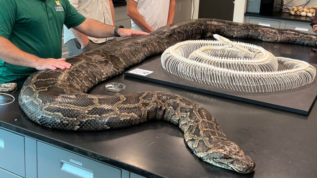
Image: Hayley Lemery
Mean accuracy of 7.3 meters and mean precision of 12.9 meters, how reliable were python location data
When the tags did connect, the quality of the locations impressed the researchers. The authors reported a mean accuracy of 7.3 meters and a mean precision of 12.9 meters, which they judged to be very good overall. In plain terms, accuracy reflects how close a reading lands to the true position, and precision reflects how tightly the readings agree with one another. A very small share of readings were still flawed; 0.2 per cent of locations had a precision worse than one kilometre. For anyone building a movement map, those outliers can be screened out, but they are a reminder that every automated tracking record deserves a quality check before analysis begins. The takeaway is that the weakness of this technology was never about trusting the points that arrived; it was about how many points failed to arrive at all.
Dense vegetation, underground hiding places, and underwater refuges limited satellite signals
Why did so many attempts fail? The researchers found two explanations. First, dense vegetation reduced the fix rate, a pattern the stationary test platforms were designed to reveal. Second, they concluded that the pythons themselves also contributed to the shortfall, because the snakes spent time in microhabitats underground or underwater, places where satellite signals struggle to reach. This finding turns a technical limitation into a behavioural clue. A missing location is not always a failure of the equipment; sometimes it quietly tells you the animal was hidden below the surface or beneath water. For wildlife managers studying an invasive or threatened constrictor, that absence of data can be informative in its own right, provided scientists interpret it carefully rather than ignoring it.
Tag failures and what the researchers recommend, pairing satellite tracking with radio telemetry
The study’s most sobering result involved hardware. Half of the recovered pythons were either missing their tag or carried a tag that had malfunctioned, so no data could be retrieved from those animals. Even so, the authors concluded that Global Positioning System biologging remains a promising tool for obtaining frequent, accurate, and precise locations of large constricting snakes. They recommend that future studies pair the tags with frequent, very high-frequency radio locations, which would reduce bias and limit the damage when a tag fails. They also call for improvements to tag design to make such failures less common. For conservation teams, park managers, and anyone funding python research, the message is practical, adopt the technology, but keep a backup method running alongside it.